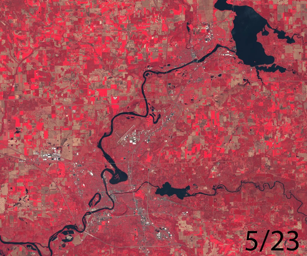
5/23
 |
| false color image |
 |
| true color image |
4/5
 |
| false color image |
 |
| true color image |
3/13
 |
| false color image |
 |
| true color image |
2/16
I've finally gotten around to adding more imagery from Landsat 8. The images below are from the middle of February which was smack in the middle of what is the coldest winter on record for Eau Claire, WI. These images are from 2/16 which means that there should be some more imagery released from Landsat 8. I'll get to processing that data within the next few days to try to get back on track for being prompt with these. If you need help understanding what the different colors mean look for a description in the post below from 1/15.
 |
| false color image |
 |
| True color image |
1/15
The following images show the Chippewa Valley region of Wisconsin which
is where UWEC is located. The first image is "natural look" view from
the LANDSAT 8 satellite.
This image shows approximately what you would see if you were flying
over the land. The next image may be a little odd for most of you but
don't worry the ground isn't on fire. This kind of image shows the
infrared energy being absorbed by features on the ground. Healthy green
vegetation appears as red in this image and snow and ice is white. It's
interesting to see in this image how there's still a lot of green
vegetation in the valley primarily around the Eau Claire River as it
flows into Lake Altoona. These images were taken at the exact same time
on the 15th of January and even though they are over a month old they are
still an accurate indicator of what is really going on around us.
 |
| true color image |
 |
| false color image |
No comments:
Post a Comment